Our journey through the East Fiords and on into northern Iceland has been great. The weather has been mostly on our side and the wind has not played as much of a factor like it did in the south. In fact, we’ve had some amazing tail winds on occasion.
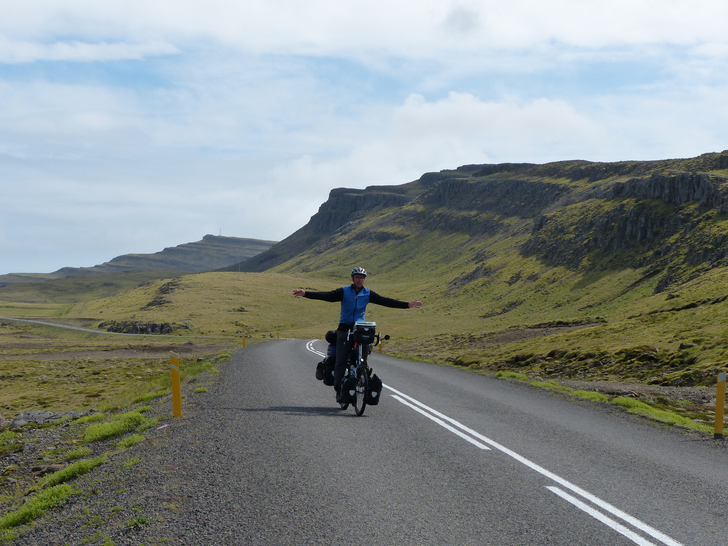
The East Fiords are dramatic and charming. Small towns and farms cling to the land where glaciers scoured out the fiords eons ago. It never ceases to amaze me that people still live in these small outposts where the main economic driver, fishing, has often all but disappeared as it changed over the last century, from men in small boats fishing their local waters to huge ocean-going trawlers scooping up whatever they can and processing it on the ship as they go.

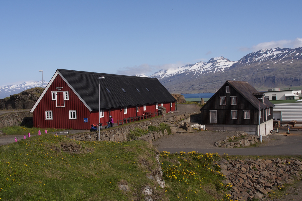
The towns are small, with populations of 100-200. Even Egilsstaddir, the largest city in eastern Iceland, has only 1800 people.
Farming is still a mainstay but it’s hard for an outsider like me to see that it can provide a living for many people. Not much is grown except hay to feed the sheep that roam the verdant hillsides.

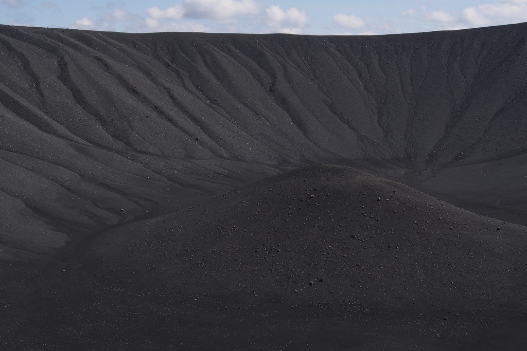
Once we veered away from the east coast toward Egilsstaddir, the landscape changed dramatically as Mordor reappeared. So much of this island has been and continues to be shaped by the brutal forces at work as the earth’s crust slowly rips this place apart. It makes for breathtaking scenery. One of the most dramatic of the last few days was when we came over a rise and began descending into a vast plain of Mordor and Herdubreid appeared on the horizon. It is often called Iceland’s Queen of Mountains as it stands alone on the Odádahraun and towers 1682 metres above the lava-strewn landscape. We saw it from about 45 km away and it is clearly visible as nothing near it comes even close in height.
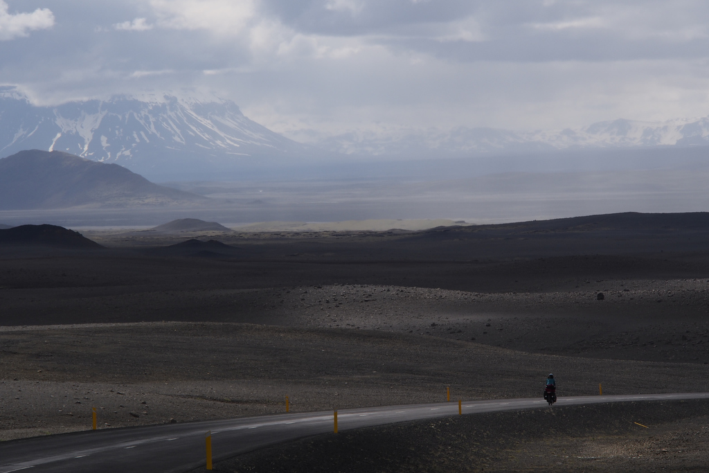
The Odadahraun is the largest lava field in Iceland measuring 4440 square kilometres and stretches from Vatnajökull in the south to Myvatn in the north, and is bounded by the rivers Jokulsááfjollum in the east to Skjalafandafljot in the west. It is Mordor at its best and an area I would love to have cycled into but because of the very late spring and record snow falls, the interior roads are still closed to traffic.
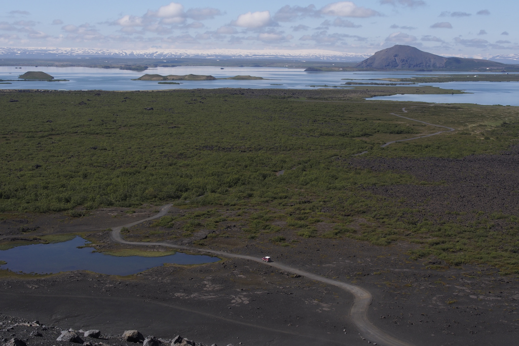
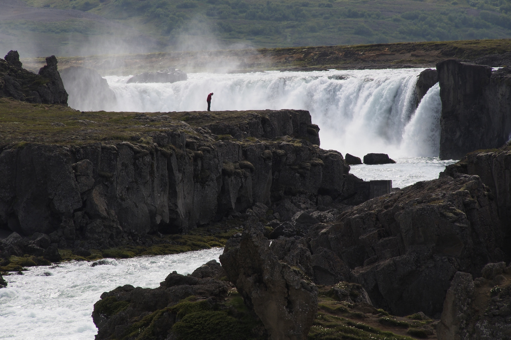
Myvatn is a little jewel on the edge of this wasteland. It is surrounded by craters and has bubbling mud pots and steaming fumaroles. It sits right on top of the Mid-Atlantic Ridge and the geologic activity has created a colourful landscape almost unlike anywhere else in Iceland. The weather is often good, as was the case for us. We had two warm sunny days at Myvatn and they would have been perfect had it not been for the namesake of the place. Myvatn means ‘Midge Lake’ and its micro climate is a perfect breeding ground for midges and black flies. The only upside to this is that the pesky critters don’t bite, unlike their cousins in Canada.

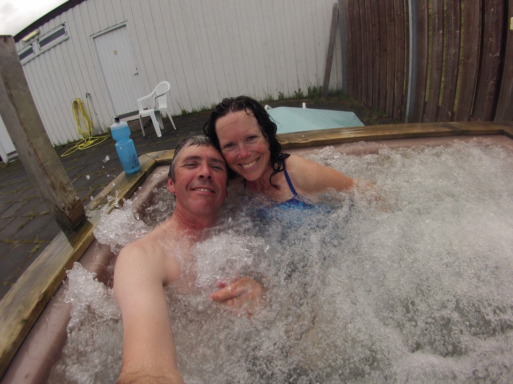
We took a well-deserved rest day after cycling for 10 straight days from Skaftafell to Myvatn, about 550 kilometres. The weather was glorious, and for the first time since arriving in Iceland, we wore shorts and felt warm, even though it was only about 12 degrees.

Tonight, we are camped at Godafoss, about 50 KM from Akureyri, the capital of North Iceland. With its 18,000 inhabitants, it is the second largest city outside of Reykjavik. Once there, we will make a decision whether to traverse the interior via the Kjölur back to Reykjavik, or stay on the Ring Road. The weather forecast will be the deciding factor.
We’ve posted more pictures on Flickr. Just click on the Flickr widget in the sidebar or here: https://www.flickr.com/photos/paulvanpeenen/albums/72157634179927777

I LOVE reading your blog!! Your writing is wonderful, and the pictures are amazing! Thankyou!!! Rainy and cool here inVancouver! Love Ann
Sent from my iPad
You are torturing me, Jimmy!!!!! It is worse than not having any sock…. It is so beautiful where you are, I want to weep. What a glorious adventure you are having. The pictures and stories are amazing. Keep on trucking. I am waiting for the next installment, eagerly…
Yep. Ivona, trade your kayak for a bike–you will catch them on the Sprengisandur…
Where are thee, Holger? Are you going to join the 2LC at some point? I love to live off the bike.
Great to see you pictures. Brought back happy memories of my trip around ten years ago. Norwegian Fjords next year with luck – on a recumbent tourer,